
|
Navigation: Home Page About UK Postcodes Find a Postcode Postcode Areas Info Find Distances Counties Information Useful Links Australian Postcodes |
Distance Between G67 and EH53
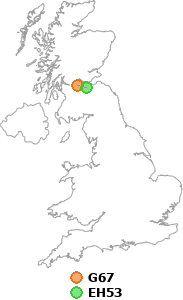

In a straight line, the distance from G67 to EH53 is:
20.15 miles
32.42 kilometres
(please note: this distance is "as the crow flies", i.e. the distance between the two postcodes in a straight line, not driving distance.)
• Find the distance between two different postcodes
• Home
| Copyright © 2005-2025 postcode-info.co.uk | Privacy Policy | page created in 0.010 seconds |