Stevenage
Built-up area in Stevenage, Hertfordshire, England
| Coordinates: | 51.903, -0.19 |
|---|---|
| OS grid ref: | TL 24 24 |
| Population: | 90,232 |
| Dialling code: | 01438 |
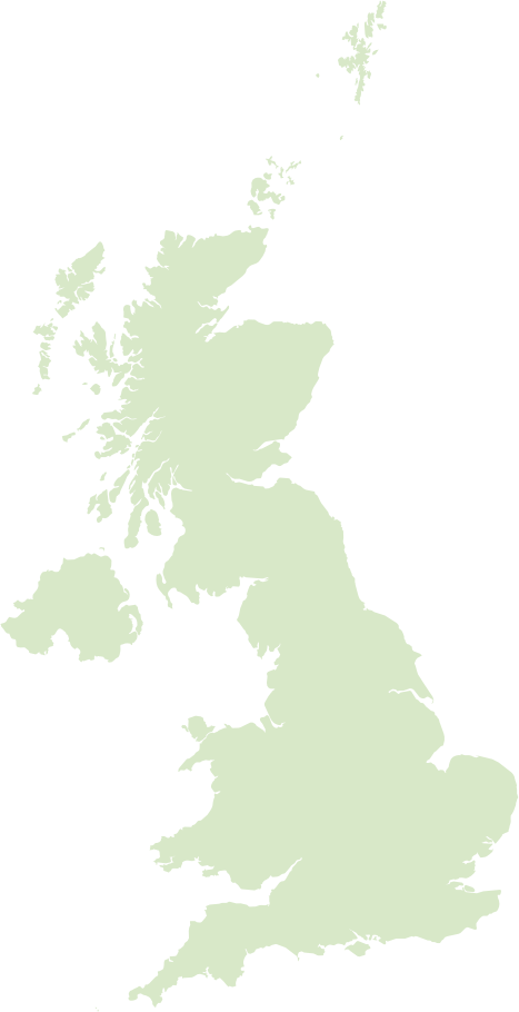
Stevenage in Hertfordshire, England is one of the country’s first post‑war New Towns, designated in 1946 and known for its planned layout of roundabouts, segregated pedestrian routes and an early pedestrianised town centre. That modern grid sits alongside a compact Old Town with medieval buildings and a parish church, giving a mix of 20th‑century civic architecture and older streets, plus plenty of parks such as Fairlands Valley Park with lakes and watersports.
The town has a strong commuter and manufacturing economy - notable business parks around Gunnels Wood host light industry and tech firms - and regular fast trains on the East Coast Main Line to King's Cross, with London around half an hour by rail. Socially it’s a diverse, family‑focused place with local sports like Stevenage FC and easy access to nearby attractions such as Knebworth, while ongoing regeneration projects continue to refresh shopping and leisure facilities.
Postcode districts covering Stevenage
Most populated places nearby
- Brent 23.6 miles
- Islington 24.9 miles
- Luton 10.6 miles
- Harrow 22.3 miles
- Cambridge 24.8 miles
- Watford 19.2 miles
- Bedford 19.9 miles
- Harlow 15.7 miles
- Hemel Hempstead 15.9 miles
- St. Albans 11.7 miles
- Welwyn Garden City 6.8 miles
- Cheshunt 14.5 miles
Neighbouring places
- Bedwell Ward 0.2 miles
- Almond Hill Ward 0.5 miles
- Old Town Ward 0.7 miles
- Shephall Ward 0.8 miles
- Chells Ward 0.9 miles
- Martins Wood Ward 1 mile
- Roebuck Ward 1 mile
- Bandley Hill & Poplars Ward 1.2 miles
- Symonds Green Ward 1.3 miles
- Manor Ward 1.4 miles
- Woodfield Ward 1.5 miles
- St. Nicholas Ward 1.5 miles
Example postcodes in Stevenage
SG2 0QH, SG1 1NP, SG2 9ST, SG2 9PS, SG2 9QX, SG1 1AA, SG1 4ND, SG1 4EZ, SG1 1PP … See all
Transport links
- Luton Airport 7.8 miles
- Stansted Airport 18.2 miles
- Stevenage Railway Station 0.7 miles
- Knebworth Railway Station 2.5 miles
Hotels in Stevenage Ad
Schools in Stevenage
- Almond Hill Junior School Primary
- Barclay Academy Secondary
- Barnwell School Secondary
- Bedwell Primary School Primary
- Broom Barns Primary School Primary
- Camps Hill Primary School Primary
- Fairlands Primary School Primary
- Featherstone Wood Primary School Primary
- Giles Junior School Primary
- Greenside School Special
- Letchmore Infants' and Nursery School Primary
- Lodge Farm Primary School Primary
- Longmeadow Primary School Primary
- Lonsdale School Special
- Marriotts School Secondary
- Moss Bury Primary School and Nursery Primary
- Peartree Spring Primary School Primary
- Roebuck Academy Primary
- Round Diamond Primary School Primary
- … See all
Local points of interest
- Broadhall Way Stadium 0.9 miles
- British School Museum Museum 4.7 miles
- Brocket Hall Estate 7.4 miles
- Putteridge Bury Estate 7.8 miles
- Luton Hoo Estate 9.7 miles
- Hatfield House Estate 9.9 miles
- Kenilworth Road Stadium 10.4 miles
- University of Hertfordshire University 10.6 miles
- University of Hertfordshire (Hatfield Campus) University 10.7 miles
- Oaklands College College 11 miles
- Wrest House Estate 11.9 miles
- Silsoe College - Cranfield University College 12.3 miles